
|
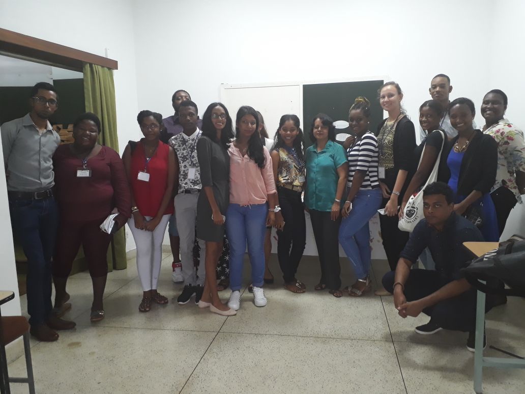
Today we attended a presentation based on the blue economy potential of Mauritius and the use of GIS at the University of Mauritius. Yes you're thoughts are right it is a rare opportunity that not all of us have a chance to attend and gain knowledge in a such informative presentation but don't worry dear readers because I am here today to share with you what I have gathered. The ocean represents a major aspect for the economic growth of the island. Many of us will questioned ourselves and ask why?. It is mainly because Mauritius have more water than land territories and they are one of the largest Exclusive Economic Zones in the world. They specialized in four specific maritime sectors which include:
Tourism has evolved to be the 3rd economic pillar of the country, due to the famous 4 S's and the ever-growing marine activities throughout the island providing unique travel experiences. There has been consistent increase in tourist arrivals from year 2015 to 2016 and marine tourism is known to have undergone a consequent boost. Furthermore, much interest in grown in marine sports like big game fishing, scuba diving, wreck and dives and dolphin watching. Fisheries & Aquaculture Fish farming has been initiated in 2005 at Mahebourg marine farm and recently, grow fish, an international company has been granted several sites along the western coast for same. However, fisheries has been a predominant sector of the country economy. Contributing to up to 1.5% of the GDP, it represents 20% of the national exports as well. Shipping & logistics The Mauritius Freeport is one of the leading duty-free logistics and distribution hubs of the region. The only commercial port is in Port Louis, the capital. It is the largest container facility in the Indian ocean, accommodating fourth and fifth generation container vessels. Competitive at the seaport and airport make Mauritius an attractive option as a distribution platform. Over 120,000msq of the Freeport infrastructure are available, including dry warehouses, cold rooms, processing units and integrated office facilities. There is also a purpose-built cargo terminal at the international airport, also located at Port louis, which offers additional export transportation. Biotechnology & research. Biotechnology & research in Mauritius is still at the outset of the research mechanism. Primary processes are being carried out by bodies like the Mauritius Research Council for Pharmaceutical and Cosmetic products and the university of Mauritius. The government programmed in 2015 reflects the vision of the government to transform Mauritius into an ocean state by promoting the ocean economy as one of its main pillars of development. The key investment opportunities identified under the ocean economy are as follows
The discovery of a thick sedimentary sequence in the Seychelles plateau have attracted oil companies to prospect in the region.
The first implementation is the production of green cooling or other energy conservation in the port whereas future plans include premium products such as high-end aquaculture and seaweed culture, cosmetics and pharmaceuticals, agrochemicals, water bottling and thalassotherapy, among others.
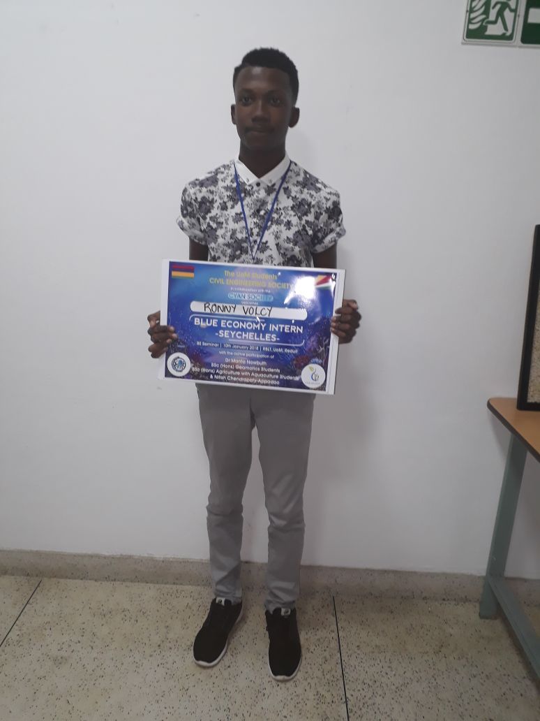
Geographical Information Systems(GIS) In this new era of modern technology, GIS is a prominent field of knowledge. But how do the Mauritian apply this technique to their oceans? In fact, GIS is a powerful tool that enables gathering of information physically impossible to collect thus devise apt methodologies for various action plans. Navigation maps, seabed exploration models, and designation of particular zones are the primary uses of this technology in the marine field. In year 2, Samanta a student at UOM did a mini project where she focused on using GIS for effective tourism in the north of Mauritius. “Dolphin & whale watching among other thrilling watersports like scuba diving, undersea walk, water skiing, etc are dominant in this region” she said. “However, due to the lack of authentic information available to both locals and tourists, the tourism sector over there has been facing consequent downfalls” she added. Her aim was to use GIS to map the activities and create a database for potential use. Similarly, this approach can be used in any other fields of marine work. On a concluding note I would like to thank you for reading this blog attentively and I do hope you have learnt new things based on the blue economy potential of Mauritius and the use of GIS. Ronny Volcy
1 Comment
|
AuthorThe interns of the Prosperity & Environment: Promoting sustainable development opportunities for youth in the Blue Economy sector. Archives
January 2018
Categories |

 RSS Feed
